LiDAR Drone Surveying
laser-based Reality Capture Services
LiDAR excels where ground visibility is limited or terrain detail is critical.
Advanced data collection for complex and large-scale sites
At Eagle Surveying, LiDAR drone surveying allows us to collect detailed ground data quickly, safely, and efficiently, especially on sites where traditional surveying methods may be time-consuming or difficult.
By combining drone technology with professional surveying oversight, we deliver accurate terrain and feature data that supports planning, design, and construction decisions.
What Eagle Surveying provides with LiDAR drone surveys
- High-density topographic surfaces
- Ground contours and elevation models
- Existing conditions for large or inaccessible sites
- Vegetation-penetrated ground data
- Site features used for engineering and design
Our construction staking Expertise
LiDAR surveying uses a drone equipped with a Light Detection and Ranging (LiDAR) sensor to shoot laser pulses, measure their return time, and create highly accurate, detailed 3D models (point clouds) of the terrain
Eagle Surveying’s role and expertise
Drone technology is only one part of the process. What sets Eagle Surveying apart is how that data is interpreted, verified, and applied. Our team combines:
This approach ensures the final deliverables align with real-world conditions and project needs not just raw data.
Where LiDAR drone surveying adds value
LiDAR drone surveys are especially effective for:
- Large tracts of land
- Development sites with heavy vegetation
- Transportation corridors and infrastructure projects
- Floodplain and drainage analysis
- Projects requiring rapid data collection
Using drones allows Eagle Surveying to cover more ground in less time while maintaining the accuracy required for survey-grade deliverables.
Which aerial method fits my project?
Choosing between photogrammetry and LiDAR depends on site conditions and how the data will be used. Eagle Surveying evaluates each project and recommends the approach that best supports accurate results and efficient workflows.
Photogrammetry is often a good fit when:
- The site is open or already developed
- Surface features are clearly visible
- Visual detail and imagery are important
- The project involves construction progress or volume tracking
- Efficient coverage of large areas is needed
LiDAR is often a better choice when:
- The site has heavy vegetation or tree cover
- Accurate ground terrain is needed beneath vegetation
- The property is large, undeveloped, or rural
- Drainage, floodplain, or terrain modeling is critical
In some cases, a combination of photogrammetry and LiDAR provides the most complete picture of a site. Rather than relying on a single method, Eagle Surveying focuses on selecting the right tools based on real-world conditions and project goals.
Contact Us for Reality Capture Surveying
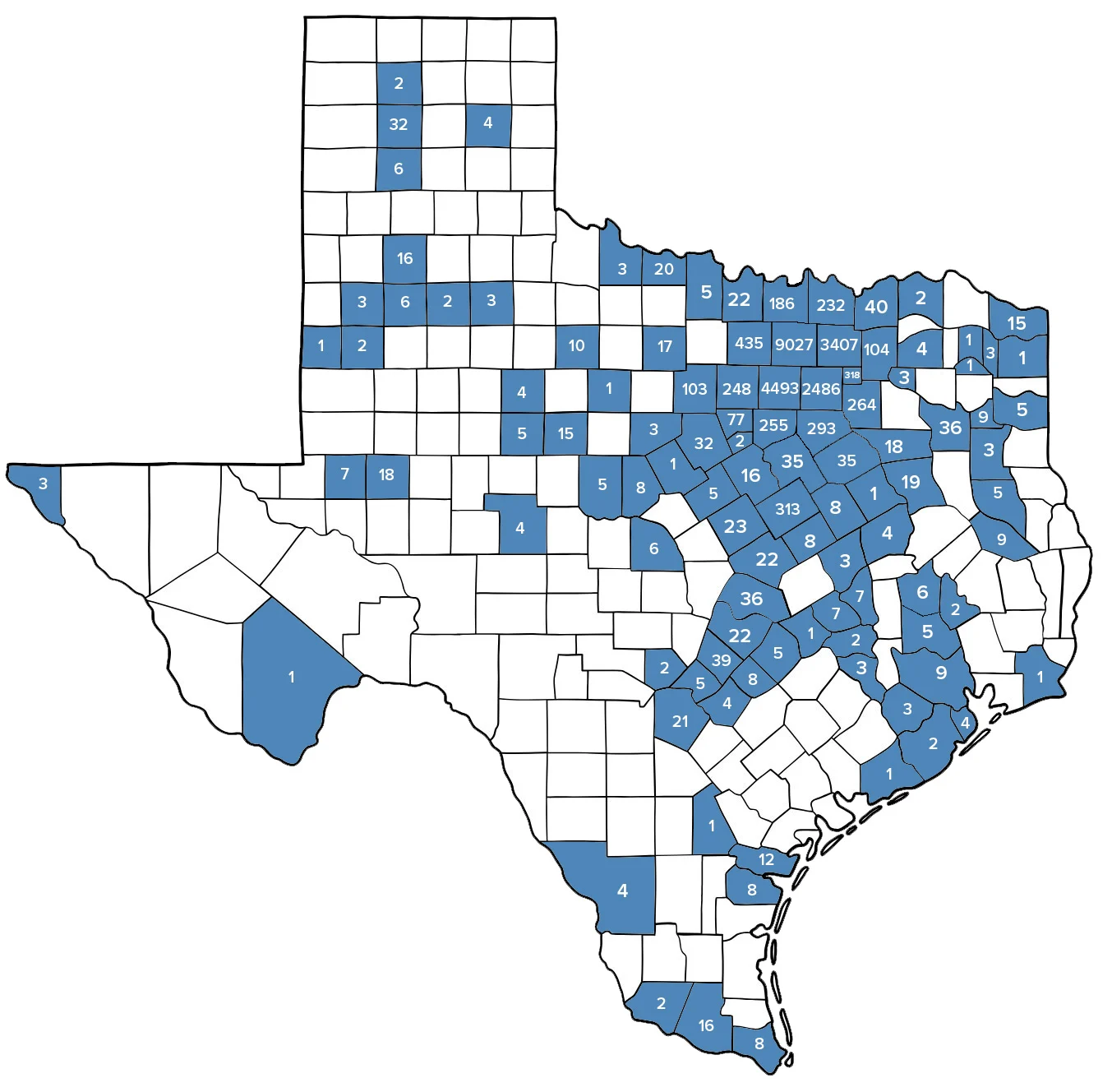
Texas Counties Surveyed
Numbers represent the number of surveys completed in each county
our offices
Address
222 South Elm Street, Suite 200
Denton, Texas 76201
Phone
940-222-3009
Address
8225 Central Park Dr., Suite 300
Waco, Texas 76712
Phone
254-481-0306